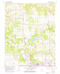
1961 Map of Ebenezer
USGS Topo · Published 1976About this map
McDaniel Lake serves as a central hydrological feature north of Springfield in this mid-century survey, which also documents the northward expansion of the city limits into North Campbell. The landscape is defined by the winding courses of the Little Sac River and the South Dry Sac River, while notable geological landmarks like Fantastic Caverns and Crystal Cave point to the region's karst topography. This era shows a transition in land use, with established agricultural communities like Ebenezer and Glidewell existing alongside new infrastructure such as a major Pipeline and sections of road marked Under Construction. Local heritage is well-preserved through several rural congregations and academic centers, including Robberson Prairie Ch, New Salem Ch, and Ritter Sch, providing a detailed record for genealogists tracing family roots in northern Greene County.
Find a feature on this map
46 named features on this map. Tap any name to fly to it.
Don’t see what you’re looking for? This feature index may not catch every label — zoom into the map to look around manually.
Map Details
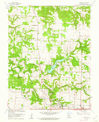
Editions of this 1961 Ebenezer Map
3 editions found

Other maps of this area

1884 · Springfield
USGS Topo · 1:125,000

1886 · Springfield
USGS Topo · 1:125,000

1935 · Springfield
USGS Topo · 1:24,000

1936 · Brookline
USGS Topo · 1:24,000

1937 · Galloway
USGS Topo · 1:24,000

1937 · Ozark
USGS Topo · 1:48,000

1943 · Ozark
USGS Topo · 1:62,500

1945 · Ozark
USGS Topo · 1:62,500

1946 · Bassville
USGS Topo · 1:24,000

1947 · Strafford
USGS Topo · 1:62,500