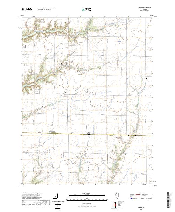
2024 Map of Eberle
USGS Topo · Published 2024About this map
The borderlands of Effingham County and Clay County are defined by a network of rural townships and winding creek beds in this 2024 survey. Small settlements like Eberle and Winterrowd anchor the northern landscape, while Bible Grove sits at the southern edge of the sheet. The area is heavily marked by its local heritage, evidenced by numerous burial grounds including Bethsaida Cem, Merry Cem, and German Cem.
Find a feature on this map
54 named features on this map. Tap any name to fly to it.
Don’t see what you’re looking for? This feature index may not catch every label — zoom into the map to look around manually.
Map Details
Editions of this 2024 Eberle Map
This is the sole edition of this map. No revisions or reprints were ever made.
Other maps of this area

1950 · Effingham
USGS Topo · 1:62,500

1951 · Effingham
USGS Topo · 1:62,500

1953 · Teutopolis
USGS Topo · 1:62,500

1953 · Sailor Springs
USGS Topo · 1:62,500

1956 · Edgewood
USGS Topo · 1:62,500

1958 · Decatur
USGS Topo · 1:250,000

1958 · Belleville
USGS Topo · 1:250,000

1961 · Decatur
USGS Topo · 1:250,000

1962 · Belleville
USGS Topo · 1:250,000
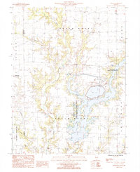
1985 · Latona
USGS Topo · 1:24,000