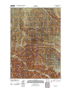
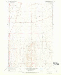
2011 Map of Echo SW
USGS Topo · Published 2011About this map
Butter Creek winds through the dry drainage systems of Umatilla County in this 2011 survey, defining the primary hydrological feature of this inland Oregon landscape. The map reveals a series of named ravines that carve through the high ground, including Slusher Canyon in the west and Cunningham Canyon further south. These features suggest a topography dictated by seasonal water movement and erosion typical of the Columbia Plateau's outskirts. Transportation in this era is represented by secondary routes like Big Butter Creek Rd and Co 1400 Rd, which provide access to the remote draws and basins such as Dixie Canyon. This 1:24,000 scale study records a quiet, rural sector of the state where land use is closely tied to the natural contours of the creek and its tributary canyons.
Find a feature on this map
6 named features on this map. Tap any name to fly to it.
Don’t see what you’re looking for? This feature index may not catch every label — zoom into the map to look around manually.
Map Details
Editions of this 2011 Echo SW Map
This is the sole edition of this map. No revisions or reprints were ever made.
Other maps of this area
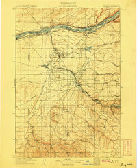
1908 · Umatilla
USGS Topo · 1:125,000

1953 · Pendleton
USGS Topo · 1:250,000

1956 · Pendleton
USGS Topo · 1:250,000
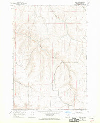
1968 · Echo SE
USGS Topo · 1:24,000
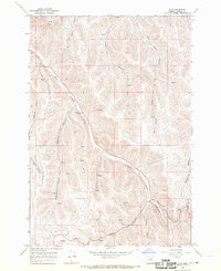
1968 · Lena
USGS Topo · 1:24,000
1968 · Echo
USGS Topo · 1:24,000
1968 · Nolin
USGS Topo · 1:24,000
1968 · Vey Ranch
USGS Topo · 1:24,000
1968 · Vinson
USGS Topo · 1:24,000
1968 · Service Buttes
USGS Topo · 1:24,000