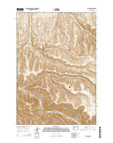
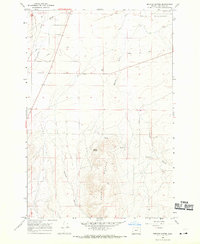
2014 Map of Echo SW
USGS Topo · Published 2014About this map
Butter Cr carves a central path through this upland landscape, defining the topography where the borders of Morrow and Umatilla counties meet. The area is characterized by a series of deep drainages, including Alkali Canyon and Slusher Canyon, which channel seasonal runoff toward the primary creek bed. Human infrastructure is sparse, dominated by the winding path of Big Butter Creek Rd, which serves as the primary artery through the high country. The map captures a moment of modern topographic recording, detailing the precise elevation contours that define features like Cunningham Canyon and Dixie Canyon. This transition between counties reveals a land primarily shaped by natural erosion and the livestock-centric economy of northeastern Oregon, where the rugged gulches and canyons dictate the movement of both water and traveler.
Find a feature on this map
13 named features on this map. Tap any name to fly to it.
Don’t see what you’re looking for? This feature index may not catch every label — zoom into the map to look around manually.
Map Details
Editions of this 2014 Echo SW Map
This is the sole edition of this map. No revisions or reprints were ever made.
Other maps of this area
1908 · Umatilla
USGS Topo · 1:125,000

1953 · Pendleton
USGS Topo · 1:250,000

1956 · Pendleton
USGS Topo · 1:250,000
1968 · Echo SE
USGS Topo · 1:24,000
1968 · Lena
USGS Topo · 1:24,000
1968 · Echo
USGS Topo · 1:24,000
1968 · Nolin
USGS Topo · 1:24,000
1968 · Vey Ranch
USGS Topo · 1:24,000
1968 · Vinson
USGS Topo · 1:24,000
1968 · Service Buttes
USGS Topo · 1:24,000