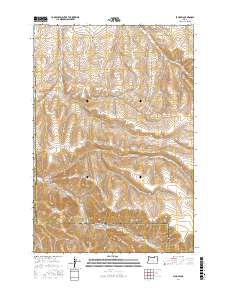
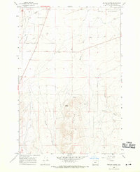
2017 Map of Echo SW
USGS Topo · Published 2017About this map
Butter Cr flows through the center of this landscape, carving a path between the high plateaus of Umatilla and Morrow counties. The terrain is defined by a series of significant drainage systems, including Cunningham Canyon and Slusher Canyon to the west, and Alkali Canyon and Dixie Canyon to the east. Transportation through this rural corridor relies on a network of primitive and local routes such as Big Butter Creek Rd and Whitehouse Rd, which follow the natural contours of the gulches and ridges. The map illustrates a transitional geography where agricultural access roads meet the steep topography of Spikes Gulch, showing the persistent influence of water and elevation on the region's land use and movement patterns.
Find a feature on this map
11 named features on this map. Tap any name to fly to it.
Don’t see what you’re looking for? This feature index may not catch every label — zoom into the map to look around manually.
Map Details
Editions of this 2017 Echo SW Map
This is the sole edition of this map. No revisions or reprints were ever made.
Other maps of this area
1908 · Umatilla
USGS Topo · 1:125,000

1953 · Pendleton
USGS Topo · 1:250,000

1956 · Pendleton
USGS Topo · 1:250,000
1968 · Echo SE
USGS Topo · 1:24,000
1968 · Lena
USGS Topo · 1:24,000
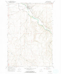
1968 · Echo
USGS Topo · 1:24,000
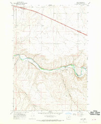
1968 · Nolin
USGS Topo · 1:24,000
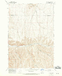
1968 · Vey Ranch
USGS Topo · 1:24,000
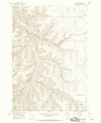
1968 · Vinson
USGS Topo · 1:24,000
1968 · Service Buttes
USGS Topo · 1:24,000