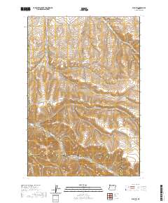
2020 Map of Echo SW
USGS Topo · Published 2020About this map
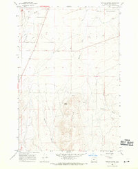
Butter Cr winds through the high desert of Umatilla County, carving a narrow drainage through the expansive rangelands of north-central Oregon. This 2020 survey illustrates the deeply incised terrain south of Echo, characterized by a series of prominent canyons and gulches. Significant topographical features include Alkali Canyon and Cunningham Canyon, which define the drainage patterns across the landscape. The map details the transition across several townships, including t2n r29e, and documents the sparse transportation network that serves this rural area. Local transit is confined primarily to routes like Whitehouse Rd and Big Butter Creek Rd, which follow the natural contours of the valley floors and ridges. This modern topographic record captures the enduring geography of the Columbia Basin plateau, where agriculture and livestock grazing remain the primary land uses.
Find a feature on this map
15 named features on this map. Tap any name to fly to it.
Don’t see what you’re looking for? This feature index may not catch every label — zoom into the map to look around manually.
Map Details
Editions of this 2020 Echo SW Map
This is the sole edition of this map. No revisions or reprints were ever made.
Other maps of this area
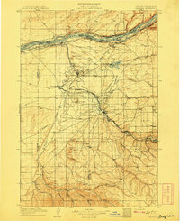
1908 · Umatilla
USGS Topo · 1:125,000

1953 · Pendleton
USGS Topo · 1:250,000

1956 · Pendleton
USGS Topo · 1:250,000
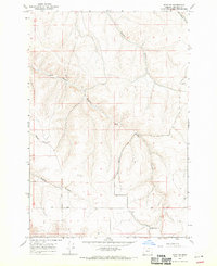
1968 · Echo SE
USGS Topo · 1:24,000
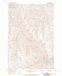
1968 · Lena
USGS Topo · 1:24,000
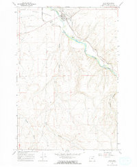
1968 · Echo
USGS Topo · 1:24,000
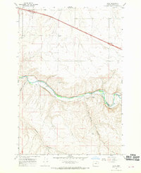
1968 · Nolin
USGS Topo · 1:24,000
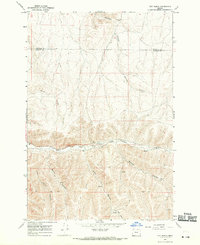
1968 · Vey Ranch
USGS Topo · 1:24,000
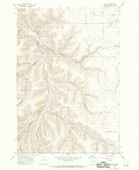
1968 · Vinson
USGS Topo · 1:24,000
1968 · Service Buttes
USGS Topo · 1:24,000