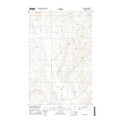
2017 Map of Echo Valley
USGS Topo · Published 2017About this map
Echo Valley and the small settlement of Echo anchor this Stevens County landscape, where the terrain is defined by several prominent peaks and ridges. The topography rises sharply at Staghorn Mtn and Bonanza Hill, with family-named features like Swede Hill and Moberg Hill suggesting the area's local heritage. A complex network of drainage is visible, featuring Bruce Cr and its various forks, alongside several small bodies of water including Reeder Lake and the Lake City Lakes.
Find a feature on this map
60 named features on this map. Tap any name to fly to it.
Don’t see what you’re looking for? This feature index may not catch every label — zoom into the map to look around manually.
Map Details
Editions of this 2017 Echo Valley Map
This is the sole edition of this map. No revisions or reprints were ever made.
Other maps of this area
1929 · Colville
USGS Topo · 1:125,000
1933 · Colville
USGS Topo · 1:125,000
1936 · Marcus
USGS Topo · 1:96,000
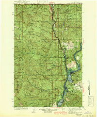
1942 · Marcus
USGS Topo · 1:125,000
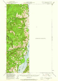
1948 · Kettle Falls
USGS Topo · 1:62,500
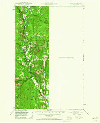
1948 · Orient
USGS Topo · 1:62,500
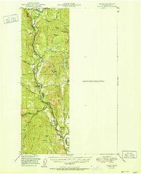
1951 · Orient
USGS Topo · 1:62,500
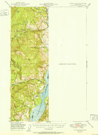
1951 · Kettle Falls
USGS Topo · 1:62,500
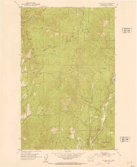
1952 · Gillette Mtn
USGS Topo · 1:24,000
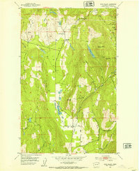
1952 · Echo Valley
USGS Topo · 1:24,000