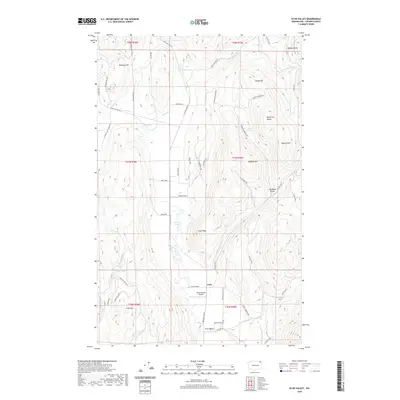
2020 Map of Echo Valley
USGS Topo · Published 2020About this map
Echo and Echo Valley sit within a high-elevation landscape defined by the varied terrain of Stevens County. This modern survey illustrates the persistent rural character of the region, where family names and local history are etched into the landmarks, from the heights of Bonanza Hill in the northwest to the peak of Queen of Sheba in the east. The drainage of Bruce Cr and its forks contrasts with several small upland water bodies, including Reeder Lake and the seasonally fluctuating Peterson Swamp.
Find a feature on this map
63 named features on this map. Tap any name to fly to it.
Don’t see what you’re looking for? This feature index may not catch every label — zoom into the map to look around manually.
Map Details
Editions of this 2020 Echo Valley Map
This is the sole edition of this map. No revisions or reprints were ever made.
Other maps of this area
1929 · Colville
USGS Topo · 1:125,000
1933 · Colville
USGS Topo · 1:125,000
1936 · Marcus
USGS Topo · 1:96,000
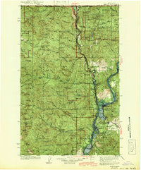
1942 · Marcus
USGS Topo · 1:125,000
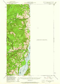
1948 · Kettle Falls
USGS Topo · 1:62,500
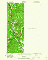
1948 · Orient
USGS Topo · 1:62,500
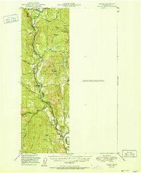
1951 · Orient
USGS Topo · 1:62,500
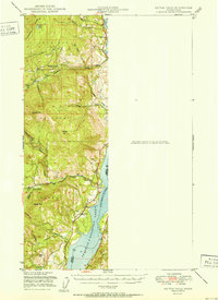
1951 · Kettle Falls
USGS Topo · 1:62,500
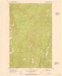
1952 · Gillette Mtn
USGS Topo · 1:24,000
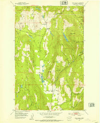
1952 · Echo Valley
USGS Topo · 1:24,000