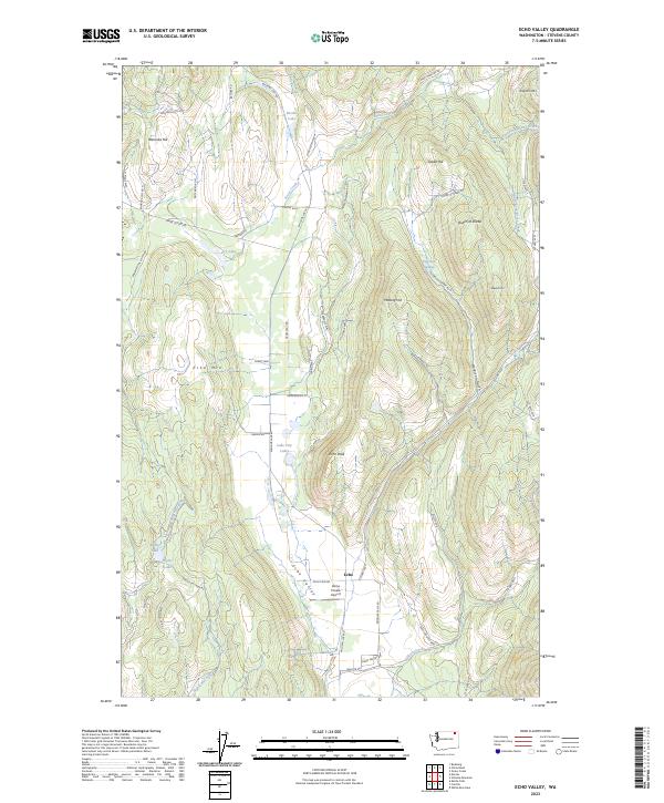
2023 Map of Echo Valley
USGS Topo · Published 2023About this map
Echo Valley defines this portion of Stevens County, serving as a corridor for the small settlement at Echo and the nearby Zema Private Airport. The landscape is a network of named peaks and high ridges, including Staghorn Mtn, Echo Mtn, and the curiously named Queen of Sheba. These elevations are separated by deep drainages like Harbison Gulch and the many forks of Bruce Creek.
Find a feature on this map
63 named features on this map. Tap any name to fly to it.
Don’t see what you’re looking for? This feature index may not catch every label — zoom into the map to look around manually.
Map Details
Editions of this 2023 Echo Valley Map
This is the sole edition of this map. No revisions or reprints were ever made.
Other maps of this area

1929 · Colville
USGS Topo · 1:125,000

1933 · Colville
USGS Topo · 1:125,000

1936 · Marcus
USGS Topo · 1:96,000

1942 · Marcus
USGS Topo · 1:125,000

1948 · Kettle Falls
USGS Topo · 1:62,500

1948 · Orient
USGS Topo · 1:62,500

1951 · Orient
USGS Topo · 1:62,500

1951 · Kettle Falls
USGS Topo · 1:62,500

1952 · Gillette Mtn
USGS Topo · 1:24,000

1952 · Echo Valley
USGS Topo · 1:24,000