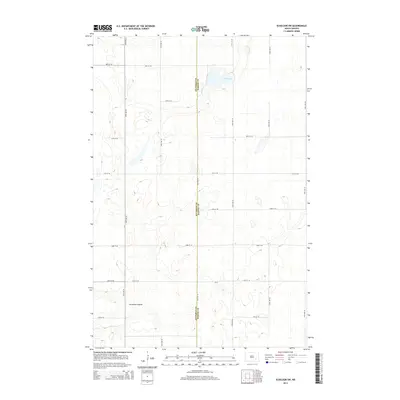
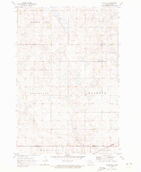
2014 Map of Eckelson SW
USGS Topo · Published 2014About this map
The Stutsman Co Barnes Co boundary line bisects this agricultural landscape, where the prairie is defined by a grid of section roads and numerous depressions. Mud Lake stands as a prominent hydrologic feature in the north, while Streaman Coulee cuts through the southwestern terrain, reflecting the natural drainage patterns of this North Dakota region. This 2014 survey documents the enduring township-and-range layout through a dense network of local routes, including Cr-32 and numbered avenues from 94th Ave SE to 99th Ave SE. The map illustrates a classic Great Plains settlement pattern where modern infrastructure follows original land division lines established over a century prior.
Find a feature on this map
18 named features on this map. Tap any name to fly to it.
Don’t see what you’re looking for? This feature index may not catch every label — zoom into the map to look around manually.
Map Details
Editions of this 2014 Eckelson SW Map
This is the sole edition of this map. No revisions or reprints were ever made.
Other maps of this area
1896 · Jamestown
USGS Topo · 1:125,000
1897 · Eckelson
USGS Topo · 1:125,000
1952 · Ypsilanti
USGS Topo · 1:24,000
1952 · Bloom
USGS Topo · 1:24,000

1953 · Jamestown
USGS Topo · 1:250,000
1953 · Montpelier
USGS Topo · 1:24,000

1956 · Jamestown
USGS Topo · 1:250,000
1970 · Eckelson
USGS Topo · 1:24,000
1970 · Spiritwood
USGS Topo · 1:24,000
1970 · Marion NE
USGS Topo · 1:24,000