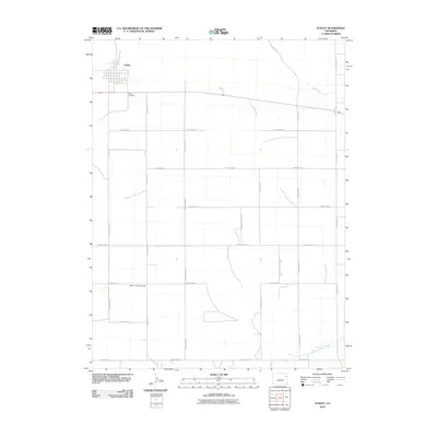
2010 Map of Eckley
USGS Topo · Published 2010About this map
Eckley anchors this high plains landscape at a time when the town's grid and surrounding section lines reflect the orderly settlement of eastern Colorado. Situated along 34, the town provides a window into the community infrastructure of Yuma County, including the Eckley Cemetery located just to the south. The agricultural character of the region is evident in the extensive network of county roads, such as County Rd U and County Rd 30, which partition the landscape into precise parcels for dryland farming and ranching.
Find a feature on this map
22 named features on this map. Tap any name to fly to it.
Don’t see what you’re looking for? This feature index may not catch every label — zoom into the map to look around manually.
Map Details
Editions of this 2010 Eckley Map
This is the sole edition of this map. No revisions or reprints were ever made.
Other maps of this area

1954 · Limon
USGS Topo · 1:250,000

1954 · Sterling
USGS Topo · 1:250,000

1957 · Limon
USGS Topo · 1:250,000

1958 · Limon
USGS Topo · 1:250,000

1958 · Sterling
USGS Topo · 1:250,000

1961 · Eckley
USGS Topo · 1:24,000

1961 · Robb
USGS Topo · 1:24,000

1963 · Vernon
USGS Topo · 1:24,000

1969 · Heartstrong
USGS Topo · 1:24,000

1969 · Vernon NW
USGS Topo · 1:24,000