
1961 Map of Eckley
USGS Topo · Published 1963About this map
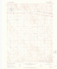
The town of Eckley serves as a focal point in this eastern Colorado landscape, situated along the Chicago Burlington and Quincy railroad and Highway 34. This survey, conducted as part of the Missouri River Basin development program, illustrates a high plains agricultural environment defined by its water management and transport links. The presence of numerous wells scattered across the township lines indicates the reliance on groundwater for the local farmsteads, while the North Fork Republican River and Chief Creek provide natural drainage to the south and north. Local social and genealogical history is anchored by the Bethel Community Hall and the Eckley Cems located just south of the main town site. Fine dashed lines throughout the quadrangle denote field and fence lines, offering a rare level of detail for those tracing historic property boundaries or land-use patterns in Yuma County during the early 1960s.
Find a feature on this map
12 named features on this map. Tap any name to fly to it.
Don’t see what you’re looking for? This feature index may not catch every label — zoom into the map to look around manually.
Map Details
Editions of this 1961 Eckley Map
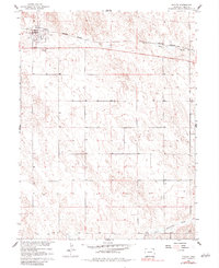
3 editions found
Other maps of this area

1954 · Limon
USGS Topo · 1:250,000

1954 · Sterling
USGS Topo · 1:250,000

1957 · Limon
USGS Topo · 1:250,000

1958 · Limon
USGS Topo · 1:250,000

1958 · Sterling
USGS Topo · 1:250,000

1961 · Robb
USGS Topo · 1:24,000

1963 · Vernon
USGS Topo · 1:24,000

1969 · Heartstrong
USGS Topo · 1:24,000

1969 · Vernon NW
USGS Topo · 1:24,000

1969 · Schramm
USGS Topo · 1:24,000