Loading...
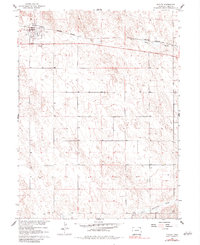
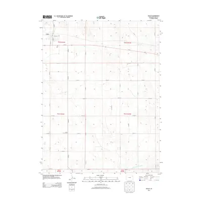
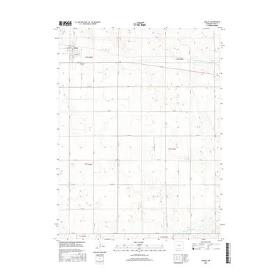
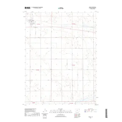
Loading map...1961 Map of Eckley
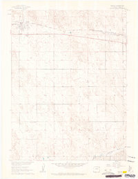
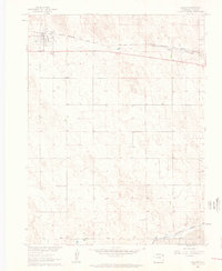
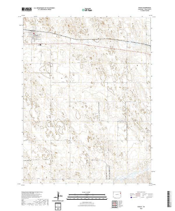
USGS Topo · Published 1983About this map
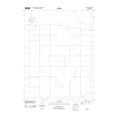
Eckley serves as the primary hub of this Yuma County landscape, situated along the Burlington Northern railroad in the northeastern plains of Colorado. The town’s early infrastructure is evident through the central rail corridor and the nearby Eckley Cems, which provide a clear record of local settlement during the mid-20th century. To the south, the Base Line separates the agricultural townships, while the drainage of Chief Creek and the North Fork Republican River define the natural topography of the High Plains.
Find a feature on this map
10 named features on this map. Tap any name to fly to it.
Don’t see what you’re looking for? This feature index may not catch every label — zoom into the map to look around manually.
Map Details
Date Portrayed1961
Date Published1983
PublisherU.S. Geological Survey
Map TypeTopographic
Scale1:24,000
Physical Dimensions22 x 26.9 inches
Editions of this 1961 Eckley Map
3 editions found
Historical Maps of Eckley Through Time
6 maps found
Featured Locations
Source Details
SourceU.S. Geological Survey
CopyrightPublic Domain