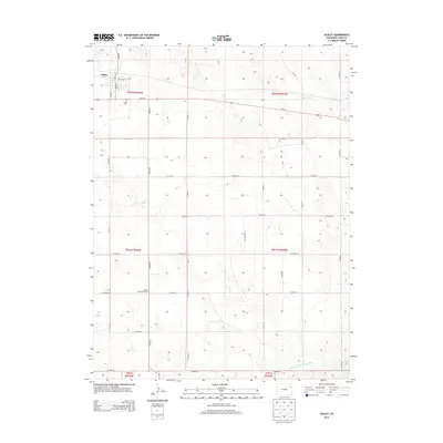
2013 Map of Eckley
USGS Topo · Published 2013About this map
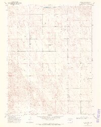
Eckley sits at the northern edge of this High Plains landscape, serving as a focal point for the surrounding agricultural grid of Yuma County. The settlement is anchored by local landmarks such as the Eckley Cem and a small network of streets including NW Colfax St and S Main St. The land south of town is defined by a rigorous section line road system, where Bethel Community Hall stands as a rare waypoint in the open country. This 2013 survey illustrates the essential relationship between water and habitation in an arid region, with the North Fork Republican River cutting across the southern reaches and Chief Creek threading through the northeast. The prevalence of named county roads, from Co Road T to Co Road Z, highlights the importance of overland connectivity for the modern farming and ranching operations that characterize this part of eastern Colorado.
Find a feature on this map
29 named features on this map. Tap any name to fly to it.
Don’t see what you’re looking for? This feature index may not catch every label — zoom into the map to look around manually.
Map Details
Editions of this 2013 Eckley Map
This is the sole edition of this map. No revisions or reprints were ever made.
Other maps of this area
1954 · Limon
USGS Topo · 1:250,000

1954 · Sterling
USGS Topo · 1:250,000
1957 · Limon
USGS Topo · 1:250,000
1958 · Limon
USGS Topo · 1:250,000

1958 · Sterling
USGS Topo · 1:250,000
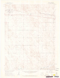
1961 · Eckley
USGS Topo · 1:24,000
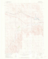
1961 · Robb
USGS Topo · 1:24,000
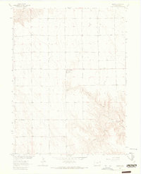
1963 · Vernon
USGS Topo · 1:24,000
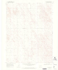
1969 · Heartstrong
USGS Topo · 1:24,000
1969 · Vernon NW
USGS Topo · 1:24,000