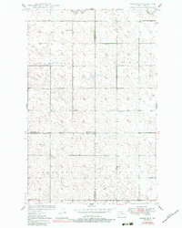
1949 Map of Eckman SE
USGS Topo · Published 1983About this map
The tri-county boundary where Bottineau, McHenry, and Renville counties meet defines the organization of this North Dakota prairie landscape. Surveyed in the late 1940s, the map reveals a highly structured township system with several named divisions including Chatfield, Pratt, Prescott, and Grilley. Water features are sparse but significant, with Cut Bank Cr and the Deep River providing the primary drainage for this glaciated terrain characterized by numerous small depressions and potholes.
Find a feature on this map
13 named features on this map. Tap any name to fly to it.
Don’t see what you’re looking for? This feature index may not catch every label — zoom into the map to look around manually.
Map Details
Editions of this 1949 Eckman SE Map
2 editions found
Other maps of this area

1948 · Newburg SW
USGS Topo · 1:24,000

1949 · Glenburn
USGS Topo · 1:24,000

1949 · Deering NW
USGS Topo · 1:24,000

1949 · Newburg SW
USGS Topo · 1:24,000

1949 · Granville NW
USGS Topo · 1:24,000

1949 · Maxbass
USGS Topo · 1:24,000

1949 · Eckman SE
USGS Topo · 1:24,000

1949 · Eckman
USGS Topo · 1:24,000

1949 · Deering
USGS Topo · 1:24,000

1950 · Newburg
USGS Topo · 1:24,000