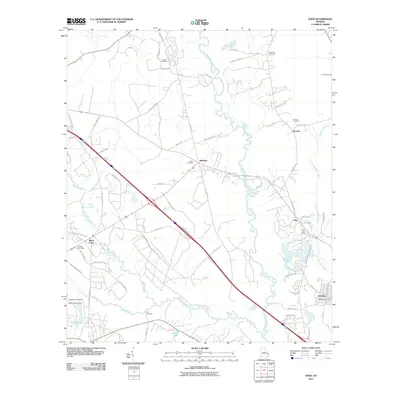
2011 Map of Eden
USGS Topo · Published 2011About this map
The Ogeechee River and its numerous branching waterways, including the Little Ogeechee River and Black Creek, dominate this landscape at the turn of the 21st century. The settlement pattern follows established corridors like Stagecoach Ave and Old Cuyler Rd, connecting small communities such as Blitchton, Doswell, and Eden. Local history is deeply rooted in family and community landmarks, evidenced by the distribution of several burial grounds like Sand Hill Cemetery, Downs Cemetery, and Blitch Cemetery. Vital local infrastructure is anchored by the Eden Post Office and Meldrim Post Office, serving these rural populations nestled between the river bends and the wetlands surrounding Little Creek. The map documents a transition from traditional land use toward modern residential pockets like those found near Rainbow Rd.
Find a feature on this map
66 named features on this map. Tap any name to fly to it.
Don’t see what you’re looking for? This feature index may not catch every label — zoom into the map to look around manually.
Map Details
Editions of this 2011 Eden Map
This is the sole edition of this map. No revisions or reprints were ever made.
Other maps of this area

1919 · Egypt
USGS Topo · 1:62,500

1920 · Pembroke
USGS Topo · 1:62,500

1920 · Meldrim
USGS Topo · 1:62,500

1921 · Brooklet
USGS Topo · 1:62,500

1939 · Egypt
USGS Topo · 1:62,500

1942 · Meldrim
USGS Topo · 1:62,500

1943 · Brooklet
USGS Topo · 1:62,500

1943 · Egypt
USGS Topo · 1:62,500

1947 · Savannah
USGS Topo · 1:250,000

1948 · Savannah
USGS Topo · 1:250,000