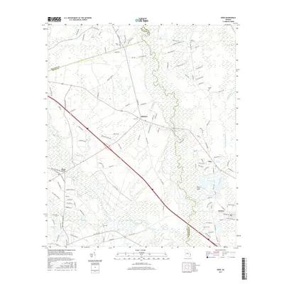
2017 Map of Eden
USGS Topo · Published 2017About this map
The Ogeechee River and its expansive wetlands dominate this landscape at the intersection of Bulloch, Bryan, and Effingham Counties. In the years following the mid-century expansion of the regional transportation network, the area maintains its rural character even as Interstate 16 and US Highway 80 bisect the territory near Blitchton. Smaller communities like Eden and Meldrim sit along the eastern edge of the river basin, while Black Creek serves as a hub to the west. Genealogists can identify several local burial grounds, including Blitch Cem, Bird Cem, and Sand Hill Cem, which are scattered among the agricultural plots and forested tracts. The presence of Cypress Lakes Airport and various small water bodies like Gartrell Lake and Haarley Lake illustrate the localized land use in this low-lying Georgia river valley.
Find a feature on this map
131 named features on this map. Tap any name to fly to it.
Don’t see what you’re looking for? This feature index may not catch every label — zoom into the map to look around manually.
Map Details
Editions of this 2017 Eden Map
This is the sole edition of this map. No revisions or reprints were ever made.
Other maps of this area
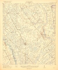
1919 · Egypt
USGS Topo · 1:62,500
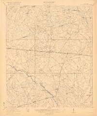
1920 · Pembroke
USGS Topo · 1:62,500
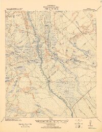
1920 · Meldrim
USGS Topo · 1:62,500
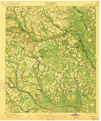
1921 · Brooklet
USGS Topo · 1:62,500
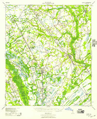
1939 · Egypt
USGS Topo · 1:62,500
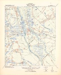
1942 · Meldrim
USGS Topo · 1:62,500
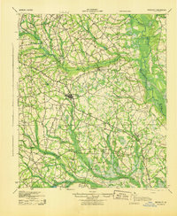
1943 · Brooklet
USGS Topo · 1:62,500
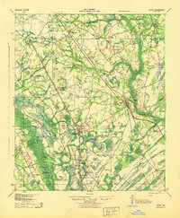
1943 · Egypt
USGS Topo · 1:62,500
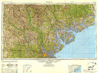
1947 · Savannah
USGS Topo · 1:250,000
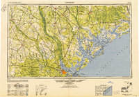
1948 · Savannah
USGS Topo · 1:250,000