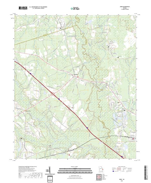
2024 Map of Eden
USGS Topo · Published 2024About this map
The Ogeechee River snakes along the boundary between Bryan and Effingham Counties, defining a landscape of wetlands and winding waterways. This coastal plain region is marked by small settlements like Blitchton and Eden, where the transition from riverine swamp to upland forest has historically shaped local land use. The map reveals a dense network of family and community history through its numerous burial grounds, including the Powers Baptist Church Cem and Sand Hill Cem. The transportation corridor is anchored by the crossing of major routes near Meldrim, illustrating how modern infrastructure overlays the older patterns of settlement near Black Creek and Mill Creek. Water bodies such as Gartrell Lake and the Little Ogeechee River further define the hydrologic character of this Southeast Georgia territory.
Find a feature on this map
128 named features on this map. Tap any name to fly to it.
Don’t see what you’re looking for? This feature index may not catch every label — zoom into the map to look around manually.
Map Details
Editions of this 2024 Eden Map
This is the sole edition of this map. No revisions or reprints were ever made.
Other maps of this area

1919 · Egypt
USGS Topo · 1:62,500

1920 · Pembroke
USGS Topo · 1:62,500

1920 · Meldrim
USGS Topo · 1:62,500

1921 · Brooklet
USGS Topo · 1:62,500

1939 · Egypt
USGS Topo · 1:62,500

1942 · Meldrim
USGS Topo · 1:62,500

1943 · Brooklet
USGS Topo · 1:62,500

1943 · Egypt
USGS Topo · 1:62,500

1947 · Savannah
USGS Topo · 1:250,000

1948 · Savannah
USGS Topo · 1:250,000