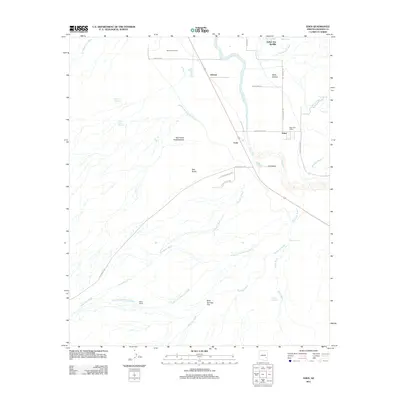
2011 Map of Eden
USGS Topo · Published 2011About this map
The Gila River meanders through the heart of the Gila Valley on this 2011 survey, defining the agricultural and settlement patterns of Graham County. Small communities like Ashurst, Cork, and Eden are connected by rural routes such as Ashurst Rd and W Bryce Eden Rd, reflecting the region's enduring rural character. The landscape is dotted with unique geological and hydrologic features, most notably the thermal waters at Indian Hot Springs and Beauty Springs situated north of the river.
Find a feature on this map
38 named features on this map. Tap any name to fly to it.
Don’t see what you’re looking for? This feature index may not catch every label — zoom into the map to look around manually.
Map Details
Editions of this 2011 Eden Map
This is the sole edition of this map. No revisions or reprints were ever made.
Other maps of this area

1944 · Jackson Mtn.
USGS Topo · 1:62,500

1946 · Jackson Mtn.
USGS Topo · 1:62,500

1954 · Silver City
USGS Topo · 1:250,000

1954 · Clifton
USGS Topo · 1:250,000

1954 · Mesa
USGS Topo · 1:250,000

1956 · Tucson
USGS Topo · 1:250,000

1957 · Mesa
USGS Topo · 1:250,000

1957 · Clifton
USGS Topo · 1:250,000

1958 · Silver City
USGS Topo · 1:250,000

1958 · Clifton
USGS Topo · 1:250,000