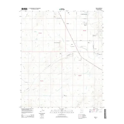
2014 Map of Eden
USGS Topo · Published 2014About this map
Indian Hot Springs and the surrounding desert floor anchor this detailed study of the Gila Valley in Graham County. The landscape is defined by its water management and geothermal features, from the Magnesium Springs and Mud Springs to the engineered paths of the Curtis Canal and Dodge Nevada Canal. These irrigation systems support the local agricultural communities of Eden, Ashurst, and Cork, which are linked by a network of rural roads such as W Ashurst Cemetery Rd and the through-traffic of Us-70. To the southwest, the dramatic topography of the Red Knolls Amphitheater and the open expanse of Bear Springs Flat reveal the area's natural geological diversity. Genealogists will find the Ashurst Cem particularly notable, while the distribution of family-named landmarks like the Eldon Palmer Reservoir and Biglers Reservoir illustrates the history of water rights and land ownership in this arid region.
Find a feature on this map
53 named features on this map. Tap any name to fly to it.
Don’t see what you’re looking for? This feature index may not catch every label — zoom into the map to look around manually.
Map Details
Editions of this 2014 Eden Map
This is the sole edition of this map. No revisions or reprints were ever made.
Other maps of this area
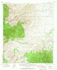
1944 · Jackson Mtn.
USGS Topo · 1:62,500
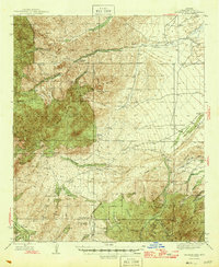
1946 · Jackson Mtn.
USGS Topo · 1:62,500

1954 · Silver City
USGS Topo · 1:250,000

1954 · Clifton
USGS Topo · 1:250,000
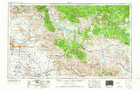
1954 · Mesa
USGS Topo · 1:250,000

1956 · Tucson
USGS Topo · 1:250,000
1957 · Mesa
USGS Topo · 1:250,000

1957 · Clifton
USGS Topo · 1:250,000
1958 · Silver City
USGS Topo · 1:250,000

1958 · Clifton
USGS Topo · 1:250,000