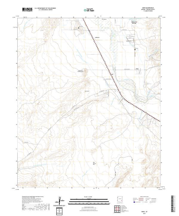
2021 Map of Eden
USGS Topo · Published 2021About this map
The Gila Valley serves as the focal point for this survey, where the Gila River supports a network of agricultural infrastructure including the Dodge Nevada Canal and Curtis Canal. Small rural settlements like Ashurst and Eden are situated along the valley floor, each accompanied by its own local burial ground, the Ashurst Cem and Eden Cem. The landscape transitions from these irrigated lowlands into more dramatic geological formations to the west, most notably the Red Knolls Amphitheater and the Red Knolls. The area is also defined by geothermal features near the river, such as Indian Hot Springs and Magnesium Springs. To the south, the terrain opens into the Bear Springs Flat, drained by several seasonal watercourses including Markham Wash and Matthews Wash, illustrating the complex relationship between water management and desert settlement.
Find a feature on this map
43 named features on this map. Tap any name to fly to it.
Don’t see what you’re looking for? This feature index may not catch every label — zoom into the map to look around manually.
Map Details
Editions of this 2021 Eden Map
This is the sole edition of this map. No revisions or reprints were ever made.
Other maps of this area

1944 · Jackson Mtn.
USGS Topo · 1:62,500

1946 · Jackson Mtn.
USGS Topo · 1:62,500

1954 · Silver City
USGS Topo · 1:250,000

1954 · Clifton
USGS Topo · 1:250,000

1954 · Mesa
USGS Topo · 1:250,000

1956 · Tucson
USGS Topo · 1:250,000

1957 · Mesa
USGS Topo · 1:250,000

1957 · Clifton
USGS Topo · 1:250,000

1958 · Silver City
USGS Topo · 1:250,000

1958 · Clifton
USGS Topo · 1:250,000