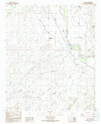
1985 Map of Eden
USGS Topo · Published 1986About this map
The Gila River corridor near the mid-1980s reveals a landscape defined by water management and natural geologic formations. In the Gila Valley, the settlements of Eden and Ashurst anchor a network of irrigation infrastructure essential for desert life. A complex system of water transport is visible, including the Fort Thomas Canal, the Dodge Nevada Canal, and the Dodge Nevada Pipeline, which together trace the valley floor to support local agriculture.
Find a feature on this map
21 named features on this map. Tap any name to fly to it.
Don’t see what you’re looking for? This feature index may not catch every label — zoom into the map to look around manually.
Map Details
Editions of this 1985 Eden Map
This is the sole edition of this map. No revisions or reprints were ever made.
Other maps of this area

1944 · Jackson Mtn.
USGS Topo · 1:62,500

1946 · Jackson Mtn.
USGS Topo · 1:62,500

1954 · Silver City
USGS Topo · 1:250,000

1954 · Clifton
USGS Topo · 1:250,000

1954 · Mesa
USGS Topo · 1:250,000

1956 · Tucson
USGS Topo · 1:250,000

1957 · Mesa
USGS Topo · 1:250,000

1957 · Clifton
USGS Topo · 1:250,000

1958 · Silver City
USGS Topo · 1:250,000

1958 · Clifton
USGS Topo · 1:250,000