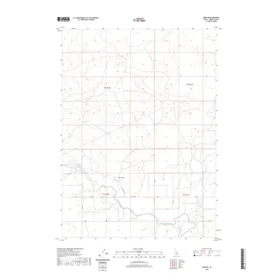
2020 Map of Eden NE
USGS Topo · Published 2020About this map
Milner Gooding Canal snakes through the southern reaches of this Jerome County landscape, illustrating the critical infrastructure required for agriculture in this high desert region. The terrain is defined by volcanic features, most notably the prominent Cinder Butte centrally located above the irrigation network. This survey reflects the structured layout of the Public Land Survey System, with township and range lines such as t9s r20e and t8s r21e governing the placement of local roads. These roads, including E Hunt Rd and Cinder Butte Rd, follow a precise grid that separates vast tracts of land, typical of the Snake River Plain's development where water management and accessibility dictated settlement patterns.
Find a feature on this map
17 named features on this map. Tap any name to fly to it.
Don’t see what you’re looking for? This feature index may not catch every label — zoom into the map to look around manually.
Map Details
Editions of this 2020 Eden NE Map
This is the sole edition of this map. No revisions or reprints were ever made.
Other maps of this area

1954 · Pocatello
USGS Topo · 1:250,000

1955 · Twin Falls
USGS Topo · 1:250,000

1958 · Twin Falls
USGS Topo · 1:250,000

1958 · Pocatello
USGS Topo · 1:250,000

1964 · Burley SW
USGS Topo · 1:24,000

1964 · Burley NW
USGS Topo · 1:24,000

1964 · Eden
USGS Topo · 1:24,000

1964 · Milner
USGS Topo · 1:24,000

1964 · Hazelton NE
USGS Topo · 1:24,000

1964 · Hunt
USGS Topo · 1:24,000