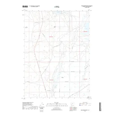
2017 Map of Eden Reservoir West
USGS Topo · Published 2017About this map
Farson and the northern reaches of Eden Valley occupy this high-desert landscape in Sweetwater County, defined by its critical water sources and historic passage. The Big Sandy River and Little Sandy Cr converge here, feeding into the Big Sandy Reservoir and Eden Reservoir which anchor the local irrigation network.
Find a feature on this map
26 named features on this map. Tap any name to fly to it.
Don’t see what you’re looking for? This feature index may not catch every label — zoom into the map to look around manually.
Map Details
Editions of this 2017 Eden Reservoir West Map
This is the sole edition of this map. No revisions or reprints were ever made.
Other maps of this area

1955 · Lander
USGS Topo · 1:250,000

1958 · Lander
USGS Topo · 1:250,000

1961 · Lander
USGS Topo · 1:250,000
1968 · Farson
USGS Topo · 1:24,000
1968 · Eden Reservoir East
USGS Topo · 1:24,000
1968 · Eden Reservoir West
USGS Topo · 1:24,000
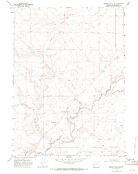
1968 · Simpson Gulch SE
USGS Topo · 1:24,000
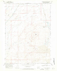
1968 · Fifteenmile Spring
USGS Topo · 1:24,000
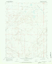
1968 · Fourmile Knoll
USGS Topo · 1:24,000
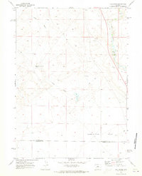
1969 · Juel Spring
USGS Topo · 1:24,000