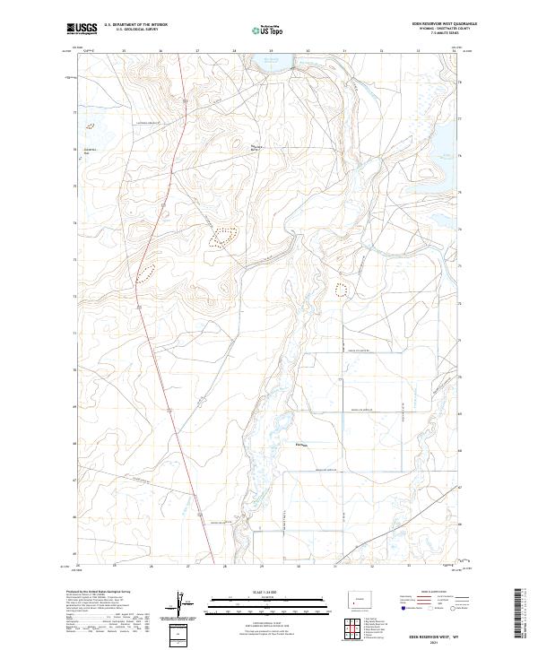
2021 Map of Eden Reservoir West
USGS Topo · Published 2021About this map
Farson serves as a central point of settlement in this high desert landscape, where the management of water defines the human footprint. The map documents an extensive network of irrigation infrastructure, including the Eden Canal, Means Canal, and Farson Lateral, which distribute water from the Big Sandy Reservoir and Big Sandy River across the dry terrain. This system illustrates the twentieth-century efforts to transform the arid basin into a viable agricultural zone.
Find a feature on this map
30 named features on this map. Tap any name to fly to it.
Don’t see what you’re looking for? This feature index may not catch every label — zoom into the map to look around manually.
Map Details
Editions of this 2021 Eden Reservoir West Map
This is the sole edition of this map. No revisions or reprints were ever made.
Other maps of this area

1955 · Lander
USGS Topo · 1:250,000

1958 · Lander
USGS Topo · 1:250,000

1961 · Lander
USGS Topo · 1:250,000
1968 · Farson
USGS Topo · 1:24,000
1968 · Eden Reservoir East
USGS Topo · 1:24,000
1968 · Eden Reservoir West
USGS Topo · 1:24,000
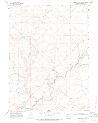
1968 · Simpson Gulch SE
USGS Topo · 1:24,000
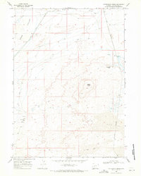
1968 · Fifteenmile Spring
USGS Topo · 1:24,000
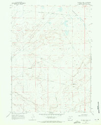
1968 · Fourmile Knoll
USGS Topo · 1:24,000
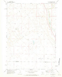
1969 · Juel Spring
USGS Topo · 1:24,000