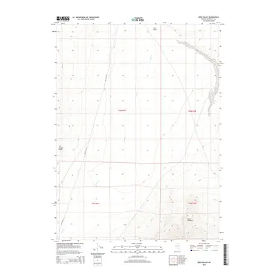
2015 Map of Eden Valley
USGS Topo · Published 2015About this map
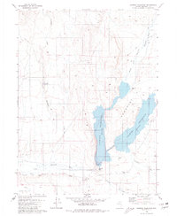
Eden Valley defines this portion of Humboldt County, characterized by a vast basin floor flanked by significant topographic rises. To the west, the Hot Springs Range begins its ascent, while the southeastern corner of the quadrangle is anchored by the rising slopes of the Osgood Mountains. Drainage for the basin is provided by the winding course of Eden Cr, which flows southward through the center of the valley. Transportation through this arid landscape is primarily facilitated by Edam Valley Rd, a route that skirts the western foothills. This survey reveals a classic Great Basin landform pattern, where the flat valley floor is precisely gridded by township and range lines, including t40n r41e and t40n r42e, illustrating the intersection of natural desert geography and formal land management.
Find a feature on this map
9 named features on this map. Tap any name to fly to it.
Don’t see what you’re looking for? This feature index may not catch every label — zoom into the map to look around manually.
Map Details
Editions of this 2015 Eden Valley Map
This is the sole edition of this map. No revisions or reprints were ever made.
Other maps of this area
1882 · Paradise
USGS Topo · 1:250,000
1893 · Paradise
USGS Topo · 1:250,000
1945 · Osgood Mountains
USGS Topo · 1:62,500
1945 · Hot Springs
USGS Topo · 1:62,500
1947 · Osgood Mountains
USGS Topo · 1:62,500
1947 · Hot Springs Peak
USGS Topo · 1:62,500

1955 · McDermitt
USGS Topo · 1:250,000

1959 · McDermitt
USGS Topo · 1:250,000
1980 · Dry Hills South
USGS Topo · 1:24,000
1980 · Chimney Reservoir
USGS Topo · 1:24,000