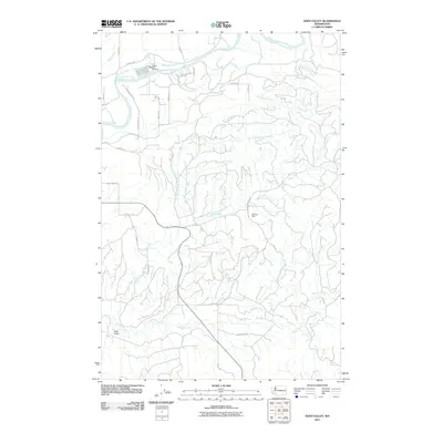
2011 Map of Eden Valley
USGS Topo · Published 2011About this map
Cowlitz River flows through the northern reaches of this landscape, supported by a dense network of tributaries including Otter Creek and Jack Welches Creek. The terrain is defined by its water resources and specialized industry, most notably the Cowlitz Trout Hatchery situated near the riverbanks. To the south, the namesake settlement of Eden Valley lies along the banks of Salmon Creek, which winds through the lower third of the quadrangle.
Find a feature on this map
39 named features on this map. Tap any name to fly to it.
Don’t see what you’re looking for? This feature index may not catch every label — zoom into the map to look around manually.
Map Details
Editions of this 2011 Eden Valley Map
This is the sole edition of this map. No revisions or reprints were ever made.
Other maps of this area

1916 · Chehalis
USGS Topo · 1:125,000

1941 · Olequa
USGS Topo · 1:62,500

1942 · Toutle
USGS Topo · 1:62,500

1943 · Willapa
USGS Topo · 1:62,500

1953 · Hoquiam
USGS Topo · 1:250,000

1953 · Toutle
USGS Topo · 1:62,500

1953 · Castle Rock
USGS Topo · 1:62,500

1954 · Onalaska
USGS Topo · 1:62,500

1954 · Centralia
USGS Topo · 1:62,500

1957 · Hoquiam
USGS Topo · 1:250,000