Loading...
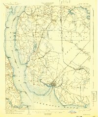
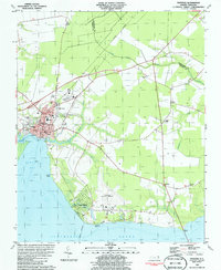
Loading map...1904 Map of Edenton
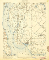
USGS Topo · Published 1941About this map
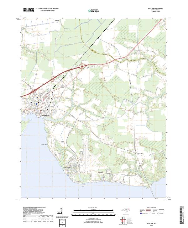
Edenton serves as the focal point of this coastal survey, situated where Queen Anne Creek meets Edenton Bay at the edge of the Albemarle Sound. The early 20th-century landscape is defined by its deep reliance on water transport and a growing rail network, with numerous landings like Rockyhock Landing and White Landing dotting the banks of the Chowan River. Inland, the terrain is fragmented by the expansive Bear Swamp and Pollock Swamp, necessitating crossings such as Wildcat Bridge and Bolton Bridge.
Find a feature on this map
62 named features on this map. Tap any name to fly to it.
Don’t see what you’re looking for? This feature index may not catch every label — zoom into the map to look around manually.
Map Details
Date Portrayed1904
Date Published1941
PublisherU.S. Geological Survey
Map TypeTopographic
Scale1:62,500
Physical Dimensions16.5 x 19.74 inches
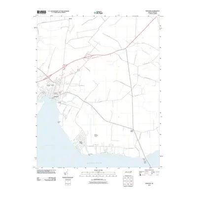
Editions of this 1904 Edenton Map
2 editions found
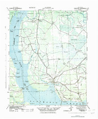
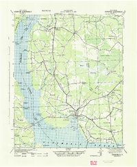
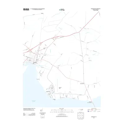
Historical Maps of Edenton Through Time
9 maps found
Featured Locations
Source Details
SourceU.S. Geological Survey
CopyrightPublic Domain