
1960 Map of Edgar
USGS Topo · Published 1961About this map
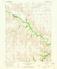
The town of Edgar serves as the focal point of this 1960 survey, situated at the junction of the Chicago Burlington and Quincy and the Union Pacific railroads. The map reveals a highly structured agricultural landscape across Clay and Nuckolls Counties, defined by a dense network of section roads and small-scale infrastructure like the Pioneer Sch and Sedan Sch. These rural institutions highlight the distributed nature of early Nebraska farming communities.
Find a feature on this map
21 named features on this map. Tap any name to fly to it.
Don’t see what you’re looking for? This feature index may not catch every label — zoom into the map to look around manually.
Map Details
Editions of this 1960 Edgar Map
This is the sole edition of this map. No revisions or reprints were ever made.
Other maps of this area

1898 · Superior
USGS Topo · 1:125,000

1898 · Hebron
USGS Topo · 1:125,000

1955 · Lincoln
USGS Topo · 1:250,000

1955 · Grand Island
USGS Topo · 1:250,000

1957 · Lincoln
USGS Topo · 1:250,000

1957 · Grand Island
USGS Topo · 1:250,000

1958 · Grand Island
USGS Topo · 1:250,000

1958 · Lincoln
USGS Topo · 1:250,000

1960 · Davenport
USGS Topo · 1:24,000
1960 · Fairfield SE
USGS Topo · 1:24,000