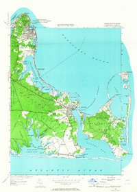
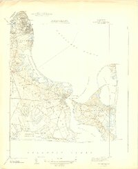
1951 Map of Edgartown
USGS Topo · Published 1966About this map
Edgartown and Oak Bluffs anchor this mid-century survey of Martha's Vineyard, revealing a coastal landscape defined by maritime history and nascent tourism. The map detail extends from the bustling harbor at Oak Bluffs Harbor down to the remote eastern reaches of Chappaquiddick Island. Three distinct navigational aids — the East Chop Lighthouse, Edgartown Lighthouse, and Cape Poge Lighthouse — stand as sentinels over the dangerous waters of Nantucket Sound and Edgartown Harbor.
Find a feature on this map
101 named features on this map. Tap any name to fly to it.
Don’t see what you’re looking for? This feature index may not catch every label — zoom into the map to look around manually.
Map Details
Editions of this 1951 Edgartown Map
4 editions found
Other maps of this area

1887 · Marthas Vineyard
USGS Topo · 1:62,500

1889 · Marthas Vineyard
USGS Topo · 1:62,500

1894 · Marthas Vineyard
USGS Topo · 1:62,500

1942 · Marthas Vineyard
USGS Topo · 1:125,000

1942 · Nantucket
USGS Topo · 1:125,000

1944 · Tisbury Great Pond
USGS Topo · 1:31,680

1944 · Vineyard Haven
USGS Topo · 1:31,680
1944 · Edgartown
USGS Topo · 1:31,680

1947 · Providence
USGS Topo · 1:250,000

1948 · Providence
USGS Topo · 1:250,000