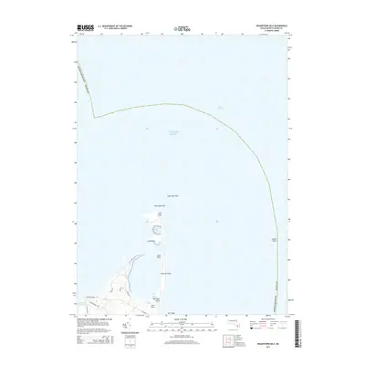
2015 Map of Edgartown OE E
USGS Topo · Published 2015About this map
Cape Poge and its surrounding waters define the northeastern reaches of Chappaquiddick Island in this mid-2010s survey. The landscape is a complex assembly of coastal features including Little Neck, Simon Point, and Whistler Point, which frame the isolated waters of Shear Pen Pond. These points and necks demonstrate the fluid nature of the Massachusetts shoreline, where land meets the Atlantic Ocean across extensive shallows like Cape Poge Flats and Hawes Shoal.
Find a feature on this map
21 named features on this map. Tap any name to fly to it.
Don’t see what you’re looking for? This feature index may not catch every label — zoom into the map to look around manually.
Map Details
Editions of this 2015 Edgartown OE E Map
This is the sole edition of this map. No revisions or reprints were ever made.
Other maps of this area

1886 · Falmouth
USGS Topo · 1:62,500

1887 · Muskeget
USGS Topo · 1:62,500

1887 · Marthas Vineyard
USGS Topo · 1:62,500

1888 · Falmouth
USGS Topo · 1:62,500

1889 · Muskeget
USGS Topo · 1:62,500

1889 · Marthas Vineyard
USGS Topo · 1:62,500

1893 · Muskeget
USGS Topo · 1:62,500

1893 · Falmouth
USGS Topo · 1:62,500

1894 · Marthas Vineyard
USGS Topo · 1:62,500

1899 · Muskeget
USGS Topo · 1:62,500