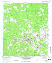
1964 Map of Edgefield
USGS Topo · Published 1982About this map
The town of Edgefield serves as the central hub of this 1960s survey, updated with revisions from the early 1980s. The landscape is deeply tied to its historical institutions and congregation centers, including Macedonia Ch and Rose Hill Ch near the town center, and the County Prison Camp located to the northwest. The presence of numerous family and church burial grounds, such as Blocker Cem, Bland Cem, and Republican Grove Cem, provides significant points of interest for genealogists tracking local family lineages.
Find a feature on this map
39 named features on this map. Tap any name to fly to it.
Don’t see what you’re looking for? This feature index may not catch every label — zoom into the map to look around manually.
Map Details
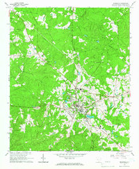
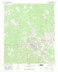
Editions of this 1964 Edgefield Map
3 editions found
Other maps of this area

1892 · Mc Cormick
USGS Topo · 1:125,000

1912 · Mc Cormick
USGS Topo · 1:125,000

1920 · Clarks Hill
USGS Topo · 1:48,000

1921 · Clarks Hill
USGS Topo · 1:62,500

1923 · Warrenville
USGS Topo · 1:48,000

1928 · Warrenville
USGS Topo · 1:62,500

1941 · Clarks Hill
USGS Topo · 1:62,500

1942 · Clarks Hill
USGS Topo · 1:62,500

1943 · Warrenville
USGS Topo · 1:62,500

1953 · Athens
USGS Topo · 1:250,000