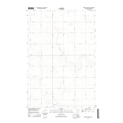
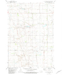
2014 Map of Edgeley Junction
USGS Topo · Published 2014About this map
Edgeley Junction sits at the southern edge of this Prairie Pothole landscape in Russell Township, where the drainages of Cottonwood Cr and Maple Cr carve subtle valleys into the surrounding plain. The area is defined by a strictly surveyed section-line road network, including corridors like 82nd Ave S and 70th St SE, which facilitate the region's agricultural transport. This 2014 survey reveals the hydrological complexity of LaMoure County, where numerous small, unnamed basins and seasonal wetlands are scattered between the larger creek beds, reflecting the glaciated history of the North Dakota interior. The concentration of road intersections near the junction point suggests a local center for movement and coordination within an otherwise sparsely settled rural landscape.
Find a feature on this map
17 named features on this map. Tap any name to fly to it.
Don’t see what you’re looking for? This feature index may not catch every label — zoom into the map to look around manually.
Map Details
Editions of this 2014 Edgeley Junction Map
This is the sole edition of this map. No revisions or reprints were ever made.
Other maps of this area
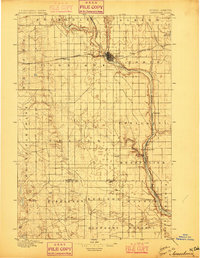
1896 · Jamestown
USGS Topo · 1:125,000
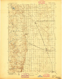
1896 · Edgeley
USGS Topo · 1:125,000
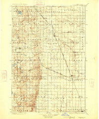
1925 · Edgeley
USGS Topo · 1:125,000

1953 · Jamestown
USGS Topo · 1:250,000
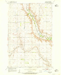
1953 · Adrian
USGS Topo · 1:24,000
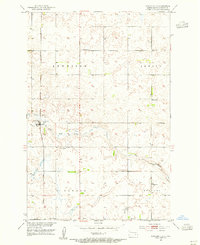
1953 · Nortonville
USGS Topo · 1:24,000
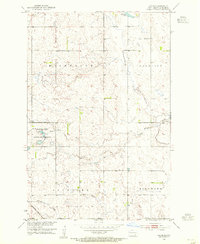
1953 · Jud SE
USGS Topo · 1:24,000

1956 · Jamestown
USGS Topo · 1:250,000
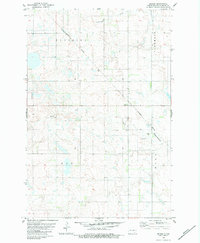
1982 · Deisem
USGS Topo · 1:24,000
1982 · Kulm-Edgeley Dam
USGS Topo · 1:24,000