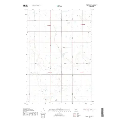
2020 Map of Edgeley Junction
USGS Topo · Published 2020About this map
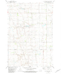
Edgeley Junction sits at the southern edge of this LaMoure County landscape, marking a vital point in the local transportation network. The terrain is defined by the wandering paths of Cottonwood Cr and Maple Cr, which cut through the agricultural sections of the eastern Dakotas. The map details the precise township and range boundaries, including t135n r64w and t134n r64w, illustrating the rectilinear survey system that governs the prairie. A network of secondary routes like Co Rd 34 and a grid of rural section roads, from 64th St SE down to 71st St SE, connect the scattered farmsteads and wetlands of the region. This 2020 survey captures the enduring rural character of the area, where water management and road access remain central to the local economy.
Find a feature on this map
15 named features on this map. Tap any name to fly to it.
Don’t see what you’re looking for? This feature index may not catch every label — zoom into the map to look around manually.
Map Details
Editions of this 2020 Edgeley Junction Map
This is the sole edition of this map. No revisions or reprints were ever made.
Other maps of this area
1896 · Jamestown
USGS Topo · 1:125,000
1896 · Edgeley
USGS Topo · 1:125,000
1925 · Edgeley
USGS Topo · 1:125,000

1953 · Jamestown
USGS Topo · 1:250,000
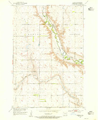
1953 · Adrian
USGS Topo · 1:24,000
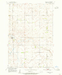
1953 · Nortonville
USGS Topo · 1:24,000
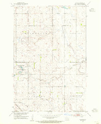
1953 · Jud SE
USGS Topo · 1:24,000

1956 · Jamestown
USGS Topo · 1:250,000
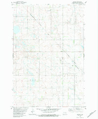
1982 · Deisem
USGS Topo · 1:24,000
1982 · Kulm-Edgeley Dam
USGS Topo · 1:24,000