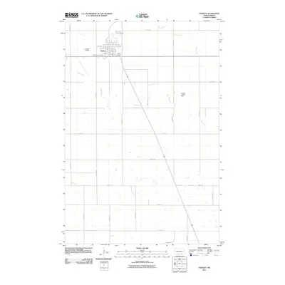
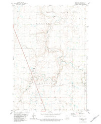
2011 Map of Edgeley
USGS Topo · Published 2011About this map
Edgeley serves as the primary hub of this LaMoure County landscape, centered around a traditional grid of streets including Main St and 1st St. The town's social and community layout is defined by the proximity of Mount Hope Cemetery and Mount Calvary Cemetery on its western and southern edges. This 2011 survey captures the agricultural and transportation patterns of the region, where the Maple River meanders through a network of section-line roads like 80th Ave SE and 72nd St SE. Aviation is a notable component of the local infrastructure, with both the Edgeley Airfield and the more remote Hartwig Landing Strip located within the quadrangle. The map details the transition from the town's compact residential blocks to the expansive drainage basins of Maple Creek, providing a clear record of land use and rural development in early 21st-century North Dakota.
Find a feature on this map
35 named features on this map. Tap any name to fly to it.
Don’t see what you’re looking for? This feature index may not catch every label — zoom into the map to look around manually.
Map Details
Editions of this 2011 Edgeley Map
This is the sole edition of this map. No revisions or reprints were ever made.
Other maps of this area
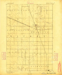
1894 · Monango
USGS Topo · 1:62,500
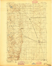
1896 · Edgeley
USGS Topo · 1:125,000
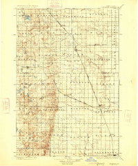
1925 · Edgeley
USGS Topo · 1:125,000

1953 · Jamestown
USGS Topo · 1:250,000

1956 · Jamestown
USGS Topo · 1:250,000
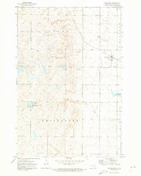
1971 · Merricourt
USGS Topo · 1:24,000
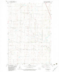
1982 · Monango NW
USGS Topo · 1:24,000
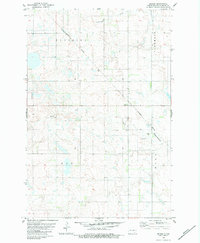
1982 · Deisem
USGS Topo · 1:24,000
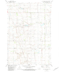
1982 · Kulm-Edgeley Dam
USGS Topo · 1:24,000
1982 · Monango
USGS Topo · 1:24,000