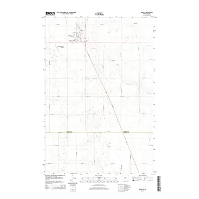
2014 Map of Edgeley
USGS Topo · Published 2014About this map
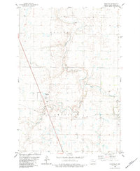
Edgeley serves as the focal point of this agricultural landscape in southeastern North Dakota, where the town grid is laid out along numbered avenues and streets near the upper edge of the map. This 2014 survey documents the community infrastructure, including the Edgeley Municipal Airport and two local burial grounds, Mt Hope Cem and Mt Calvary Cem. The terrain is defined by the winding paths of the Maple River and its tributary Maple Creek, which meander through a countryside dominated by section-line roads such as 82nd Ave S and 72nd St SE.
Find a feature on this map
33 named features on this map. Tap any name to fly to it.
Don’t see what you’re looking for? This feature index may not catch every label — zoom into the map to look around manually.
Map Details
Editions of this 2014 Edgeley Map
This is the sole edition of this map. No revisions or reprints were ever made.
Other maps of this area
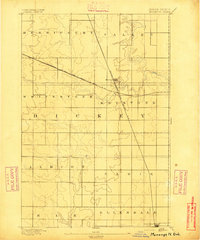
1894 · Monango
USGS Topo · 1:62,500
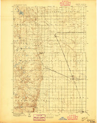
1896 · Edgeley
USGS Topo · 1:125,000
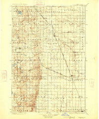
1925 · Edgeley
USGS Topo · 1:125,000

1953 · Jamestown
USGS Topo · 1:250,000

1956 · Jamestown
USGS Topo · 1:250,000
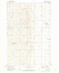
1971 · Merricourt
USGS Topo · 1:24,000
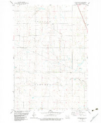
1982 · Monango NW
USGS Topo · 1:24,000
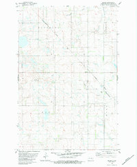
1982 · Deisem
USGS Topo · 1:24,000
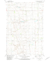
1982 · Kulm-Edgeley Dam
USGS Topo · 1:24,000
1982 · Monango
USGS Topo · 1:24,000