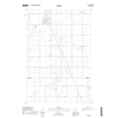
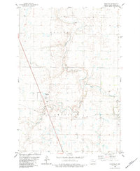
2018 Map of Edgeley
USGS Topo · Published 2018About this map
The town of Edgeley serves as the central hub for this portion of the northern plains, organized around a rigid grid of avenues and streets that contrast with the winding path of the Maple River. This landscape is defined by its agricultural layout, where large sections are delineated by roads such as 72nd St SE and 82nd Ave SE. To the west and east of the town center lie Mount Hope Cem and Mount Calvary Cem, providing significant points of interest for genealogists tracing family histories in LaMoure County. The presence of the Edgeley Municipal Airport north of the main settlement indicates the area's continued role as a regional service center. The southern portion of the map crosses the boundary between LaMoure and Dickey Counties, where the terrain becomes increasingly dotted with small wetlands and depressions common to this glacial till plain.
Find a feature on this map
28 named features on this map. Tap any name to fly to it.
Don’t see what you’re looking for? This feature index may not catch every label — zoom into the map to look around manually.
Map Details
Editions of this 2018 Edgeley Map
This is the sole edition of this map. No revisions or reprints were ever made.
Other maps of this area
1894 · Monango
USGS Topo · 1:62,500
1896 · Edgeley
USGS Topo · 1:125,000
1925 · Edgeley
USGS Topo · 1:125,000

1953 · Jamestown
USGS Topo · 1:250,000

1956 · Jamestown
USGS Topo · 1:250,000
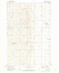
1971 · Merricourt
USGS Topo · 1:24,000
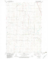
1982 · Monango NW
USGS Topo · 1:24,000
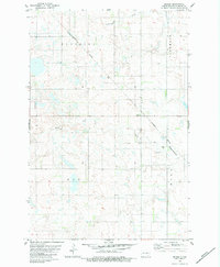
1982 · Deisem
USGS Topo · 1:24,000
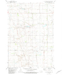
1982 · Kulm-Edgeley Dam
USGS Topo · 1:24,000
1982 · Monango
USGS Topo · 1:24,000