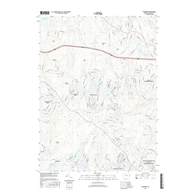
2016 Map of Edgemere
USGS Topo · Published 2016About this map
Edgemere and the surrounding residential developments characterize this portion of Pike County, where private communities are interspersed among the dense hydrological networks of the Poconos. The area is defined by numerous man-made and natural water bodies, including the central Gold Key Lake and Sunrise Lake, alongside the extensive wetlands of Crooked Swamp and Nelson Swamp. In the southeast corner, the protected lands of the Delaware Water Gap National Recreation Area begin to appear, signifying the transition from private lakeside living to public conservation land. The presence of the Myer Airport near Tarburner Ridge indicates the local infrastructure supporting these upland communities. Transportation is facilitated by a grid of smaller lanes like Whites Ln and Springbrook Rd, which connect the various lakefront settlements through the wooded terrain of Aces Ridge and Cranberry Ridge.
Find a feature on this map
215 named features on this map. Tap any name to fly to it.
Don’t see what you’re looking for? This feature index may not catch every label — zoom into the map to look around manually.
Map Details
Editions of this 2016 Edgemere Map
This is the sole edition of this map. No revisions or reprints were ever made.
Other maps of this area

1891 · Wallpack
USGS Topo · 1:62,500

1893 · Wallpack
USGS Topo · 1:62,500

1913 · Milford
USGS Topo · 1:62,500

1915 · Milford
USGS Topo · 1:62,500

1924 · Bushkill
USGS Topo · 1:48,000

1935 · Hawley
USGS Topo · 1:62,500

1938 · Hawley
USGS Topo · 1:62,500

1943 · Bushkill
USGS Topo · 1:62,500

1943 · Lake Maskenozha
USGS Topo · 1:31,680
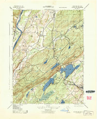
1943 · Culvers Gap
USGS Topo · 1:31,680
Featured Places
- Blooming Grove Township, PA
- Shohola Township, PA
- Milford Township, PA
- Dingman Township, PA
- Edgemere, Delaware Township