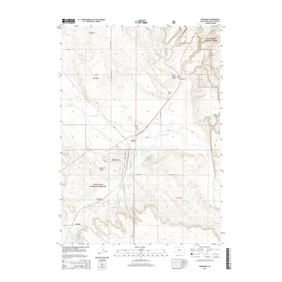
2015 Map of Edgemont
USGS Topo · Published 2015About this map
The Cheyenne River winds through this South Dakota landscape, creating a geographic divide between the Black Hills National Forest to the north and the Buffalo Gap National Grassland to the south. The city of Edgemont serves as the central hub, situated near the transition from river plains to the steeper terrain of Breakneck Hill and Stone Quarry Canyon. This 2015 survey details the local infrastructure, from the Edgemont Municipal Airport to the George S Mickelson Trl, which follows the path of former rail transport through the valley.
Find a feature on this map
34 named features on this map. Tap any name to fly to it.
Don’t see what you’re looking for? This feature index may not catch every label — zoom into the map to look around manually.
Map Details
Editions of this 2015 Edgemont Map
This is the sole edition of this map. No revisions or reprints were ever made.
Other maps of this area
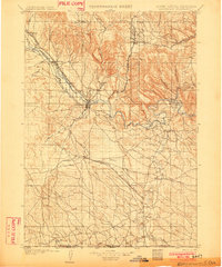
1902 · Edgemont
USGS Topo · 1:125,000
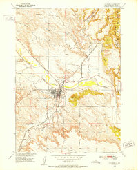
1950 · Edgemont
USGS Topo · 1:24,000
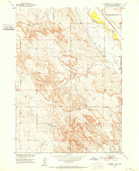
1950 · Edgemont SW
USGS Topo · 1:24,000
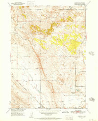
1950 · Rumford
USGS Topo · 1:24,000
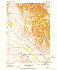
1950 · Burdock
USGS Topo · 1:24,000
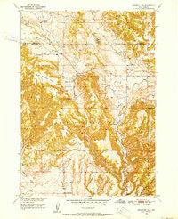
1950 · Edgemont NE
USGS Topo · 1:24,000
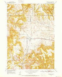
1950 · Minnekahta
USGS Topo · 1:24,000
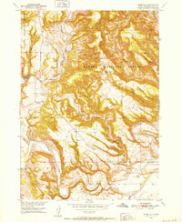
1950 · Flint Hill
USGS Topo · 1:24,000
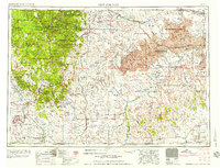
1955 · Hot Springs
USGS Topo · 1:250,000
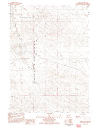
1982 · Provo
USGS Topo · 1:25,000