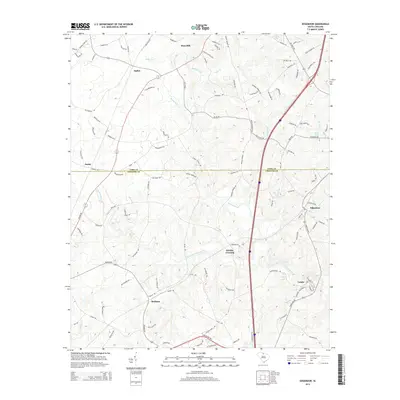
2014 Map of Edgemoor
USGS Topo · Published 2014About this map
The boundary between York Co and Chester Co bisects this landscape, which is defined by the extensive drainage systems of Fishing Creek and its various tributaries. The settlement pattern here is anchored by several small communities, most notably Edgemoor and Lando in the southeast, and Rodman further south. These points of interest are connected by a network of rural roads that cross over named watercourses like Stony Fork and Taylor Cr.
Find a feature on this map
112 named features on this map. Tap any name to fly to it.
Don’t see what you’re looking for? This feature index may not catch every label — zoom into the map to look around manually.
Map Details
Editions of this 2014 Edgemoor Map
This is the sole edition of this map. No revisions or reprints were ever made.
Other maps of this area

1941 · Spartanburg
USGS Topo · 1:250,000

1949 · Rock Hill
USGS Topo · 1:62,500

1953 · Spartanburg
USGS Topo · 1:250,000

1960 · Spartanburg
USGS Topo · 1:250,000

1963 · Spartanburg
USGS Topo · 1:250,000

1964 · Spartanburg
USGS Topo · 1:250,000

1968 · Catawba
USGS Topo · 1:24,000
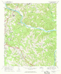
1968 · Rock Hill East
USGS Topo · 1:24,000
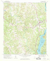
1969 · Fort Lawn
USGS Topo · 1:24,000
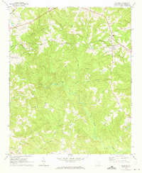
1969 · Richburg
USGS Topo · 1:24,000