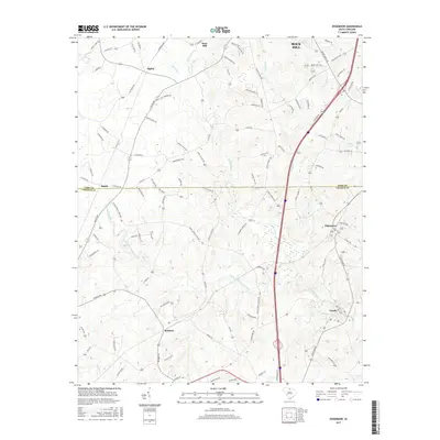
2017 Map of Edgemoor
USGS Topo · Published 2017About this map
Fishing Creek and its many tributaries, including the South Fork Fishing Creek, dictate the drainage patterns and settlement layout across this section of the Piedmont. The landscape is dotted with rural centers such as Edgemoor and Lando, where local life once centered around small mills and crossroads commerce. The presence of Deas Mill on the northern reach of the creek suggests the importance of water power to the local economy before modern industrial shifts.
Find a feature on this map
103 named features on this map. Tap any name to fly to it.
Don’t see what you’re looking for? This feature index may not catch every label — zoom into the map to look around manually.
Map Details
Editions of this 2017 Edgemoor Map
This is the sole edition of this map. No revisions or reprints were ever made.
Other maps of this area

1941 · Spartanburg
USGS Topo · 1:250,000

1949 · Rock Hill
USGS Topo · 1:62,500

1953 · Spartanburg
USGS Topo · 1:250,000

1960 · Spartanburg
USGS Topo · 1:250,000

1963 · Spartanburg
USGS Topo · 1:250,000

1964 · Spartanburg
USGS Topo · 1:250,000

1968 · Catawba
USGS Topo · 1:24,000
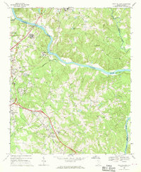
1968 · Rock Hill East
USGS Topo · 1:24,000
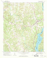
1969 · Fort Lawn
USGS Topo · 1:24,000
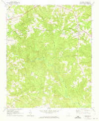
1969 · Richburg
USGS Topo · 1:24,000