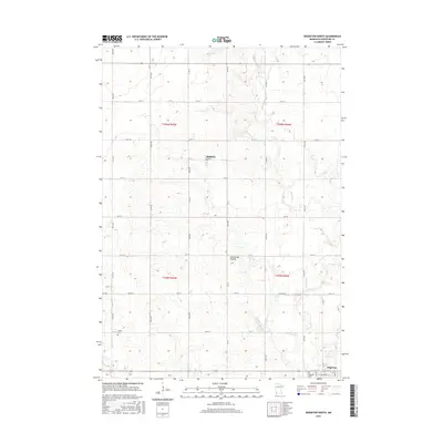
2016 Map of Edgerton North
USGS Topo · Published 2016About this map
The Coteau des Prairies plateau dominates the local topography of Pipestone County, as seen in this 2016 survey of the plains. The Rock River winds southward through a landscape defined by its grid-based township system and agricultural heritage. The village of Edgerton sits at the southeastern corner of the quadrangle, serving as a hub for the surrounding rural sections. Farther north, the small settlement of Hatfield is situated along the intersection of Co Rd 16 and Co Rd 63. For those researching local family history, the map identifies significant burial sites including Hillside Cem and Trosky Cem. The region is marked by a network of county and township roads, such as 110th Ave and 41st St, which reflect the enduring 19th-century Public Land Survey System layout across these Minnesota prairies.
Find a feature on this map
36 named features on this map. Tap any name to fly to it.
Don’t see what you’re looking for? This feature index may not catch every label — zoom into the map to look around manually.
Map Details
Editions of this 2016 Edgerton North Map
This is the sole edition of this map. No revisions or reprints were ever made.
Other maps of this area
1953 · Watertown
USGS Topo · 1:250,000
1955 · Sioux Falls
USGS Topo · 1:250,000
1958 · Sioux Falls
USGS Topo · 1:250,000
1958 · Watertown
USGS Topo · 1:250,000
1967 · Edgerton South
USGS Topo · 1:24,000
1967 · Pipestone North
USGS Topo · 1:24,000
1967 · Edgerton North
USGS Topo · 1:24,000
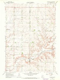
1967 · Edgerton NE
USGS Topo · 1:24,000
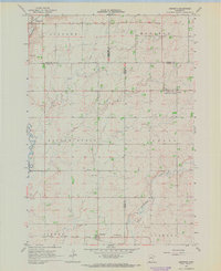
1967 · Kenneth
USGS Topo · 1:24,000
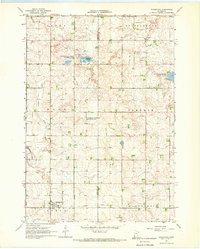
1967 · Woodstock
USGS Topo · 1:24,000