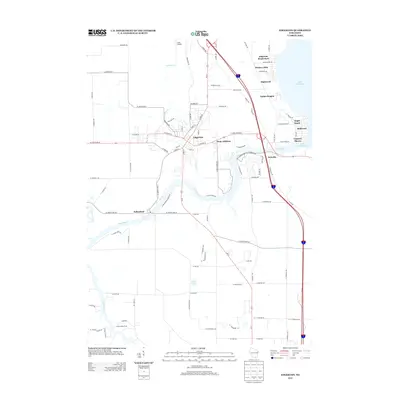
2013 Map of Edgerton
USGS Topo · Published 2013About this map
Edgerton and its surrounding riverine communities appear here in a portrait of early 21st-century Rock County development. The Rock River serves as the central geographic artery, winding south from Lake Koshkonong past several lakeside neighborhoods including Maple Beach and Coopers Shores. This waterway meets the Yahara River near Indianford, creating a network of riparian landscapes that have long defined the region's recreation and settlement patterns.
Find a feature on this map
97 named features on this map. Tap any name to fly to it.
Don’t see what you’re looking for? This feature index may not catch every label — zoom into the map to look around manually.
Map Details
Editions of this 2013 Edgerton Map
This is the sole edition of this map. No revisions or reprints were ever made.
Other maps of this area

1890 · Stoughton
USGS Topo · 1:62,500

1891 · Koshkonong
USGS Topo · 1:62,500

1891 · Janesville
USGS Topo · 1:62,500

1893 · Janesville
USGS Topo · 1:62,500

1893 · Shopiere
USGS Topo · 1:62,500

1894 · Koshkonong
USGS Topo · 1:62,500

1906 · Koshkonong
USGS Topo · 1:62,500

1954 · Rockford
USGS Topo · 1:250,000

1955 · Rockford
USGS Topo · 1:250,000

1958 · Rockford
USGS Topo · 1:250,000