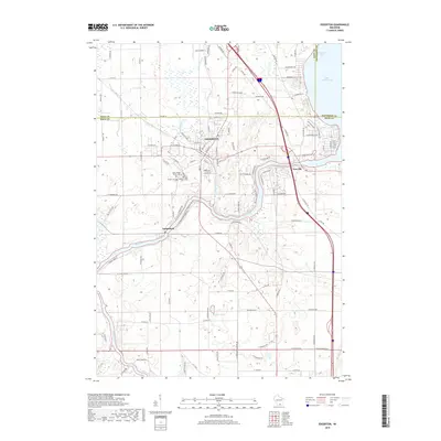
2018 Map of Edgerton
USGS Topo · Published 2018About this map
Edgerton and its surrounding countryside are defined by the meandering course of the Rock River, which connects the larger Lake Koshkonong to the smaller settlements of Newville and Indianford. This 2018 survey reveals a landscape where modern infrastructure, such as the Jana Airport, sits alongside long-established local landmarks and genealogy-rich sites. The area southwest of the city center is notable for its cluster of burial grounds, including the Saint Joseph Parish Cem, Jenson Cem, and Fassett Cem, which serve as permanent records of the region's early families. Further south, the map details a rural network of roads like N Pennycook Rd and W Miles Rd that border local water features like Willies Pond. The convergence of Saunders Cr with the river highlights the complex drainage patterns of the Rock and Dane county lines.
Find a feature on this map
114 named features on this map. Tap any name to fly to it.
Don’t see what you’re looking for? This feature index may not catch every label — zoom into the map to look around manually.
Map Details
Editions of this 2018 Edgerton Map
This is the sole edition of this map. No revisions or reprints were ever made.
Other maps of this area

1890 · Stoughton
USGS Topo · 1:62,500

1891 · Koshkonong
USGS Topo · 1:62,500

1891 · Janesville
USGS Topo · 1:62,500

1893 · Janesville
USGS Topo · 1:62,500

1893 · Shopiere
USGS Topo · 1:62,500

1894 · Koshkonong
USGS Topo · 1:62,500

1906 · Koshkonong
USGS Topo · 1:62,500

1954 · Rockford
USGS Topo · 1:250,000

1955 · Rockford
USGS Topo · 1:250,000

1958 · Rockford
USGS Topo · 1:250,000