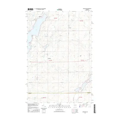
2015 Map of Edgewater
USGS Topo · Published 2015About this map
Lake Chetac dominates the western portion of this landscape, its complex shoreline defined by points and bays such as Indian Point and The Bullpen Bay. The settlement of Edgewater is positioned on the lake's northern end, serving as a focal point for the region's transport network, which includes N Co Rd F and N E Shore Dr. The terrain rises toward the east at Meteor Hill, where the landscape becomes more densely wooded and pocketed with smaller water bodies like Wise Lake and Deer Lake.
Find a feature on this map
60 named features on this map. Tap any name to fly to it.
Don’t see what you’re looking for? This feature index may not catch every label — zoom into the map to look around manually.
Map Details
Editions of this 2015 Edgewater Map
This is the sole edition of this map. No revisions or reprints were ever made.
Other maps of this area

1944 · Couderay
USGS Topo · 1:48,000

1945 · Meteor
USGS Topo · 1:48,000

1948 · Couderay
USGS Topo · 1:48,000

1948 · Stone Lake
USGS Topo · 1:48,000

1949 · Meteor
USGS Topo · 1:48,000

1949 · Rice Lake
USGS Topo · 1:48,000

1950 · Stone Lake
USGS Topo · 1:48,000

1951 · Rice Lake
USGS Topo · 1:48,000

1953 · Rice Lake
USGS Topo · 1:250,000

1959 · Rice Lake
USGS Topo · 1:250,000