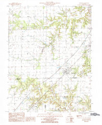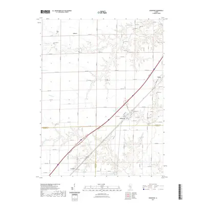
1956 Map of Edgewood
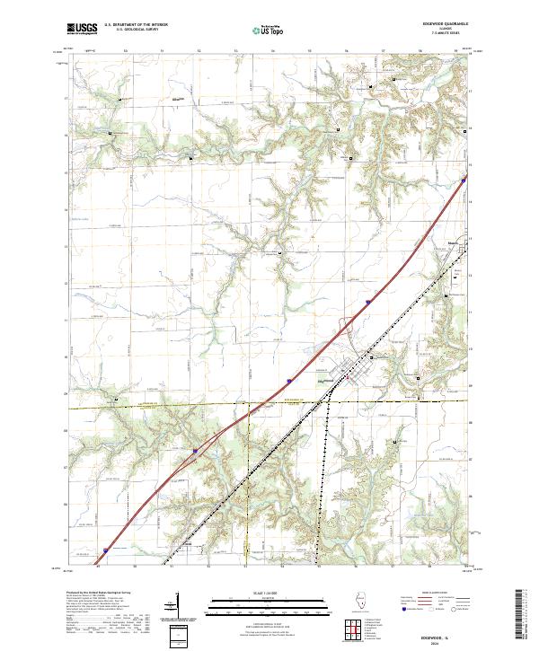
USGS Topo · Published 1978About this map
The intersection of the Illinois Central and the Baltimore and Ohio railroads at Edgewood anchors this mid-century survey of South Central Illinois. The landscape is a mix of small agricultural settlements like Mason and Iola and a growing energy sector, evident in the extensive Mason Oil Field and Oskaloosa Oil Field. Numerous small cemeteries such as Kavanaugh Cem, Davidson Cem, and Old Mason Cem dot the countryside, providing a detailed record for genealogists. The map captures a period of transition for rural infrastructure, marking several closed facilities like the Pleasant View Sch (Abandoned) and Maple Grove Sch (Abandoned). Along the Little Wabash River and Skillet Fork, the terrain breaks into more complex drainage patterns, contrasting with the straight-line township grids of the upland prairies.
Find a feature on this map
77 named features on this map. Tap any name to fly to it.
Don’t see what you’re looking for? This feature index may not catch every label — zoom into the map to look around manually.
Map Details
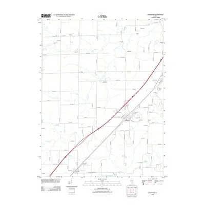
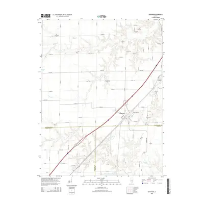
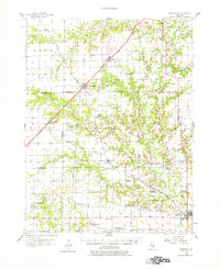
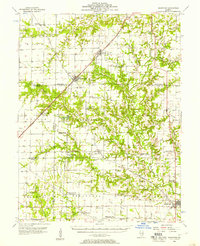
Editions of this 1956 Edgewood Map
2 editions found
Historical Maps of Louisville Through Time
7 maps found