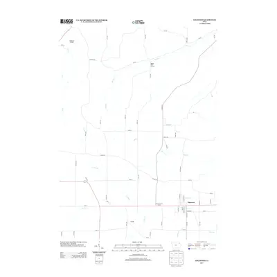
2013 Map of Edgewood
USGS Topo · Published 2013About this map
Edgewood and the nearby community of York anchor this 2013 survey of the Iowa landscape. The region is defined by a dense network of streams and creeks that have carved distinct terrain features like Alderson Hollow in the northwest and Mossy Glen Hollow to the northeast. These drainage patterns, including Honey Cr, Bear Cr, and Lindsey Cr, influence the placement of the rural road grid, which often shifts or terminates at the water's edge.
Find a feature on this map
56 named features on this map. Tap any name to fly to it.
Don’t see what you’re looking for? This feature index may not catch every label — zoom into the map to look around manually.
Map Details
Editions of this 2013 Edgewood Map
This is the sole edition of this map. No revisions or reprints were ever made.
Other maps of this area
1901 · Oelwein
USGS Topo · 1:125,000
1902 · Elkader
USGS Topo · 1:125,000
1959 · Dubuque
USGS Topo · 1:250,000
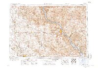
1961 · Dubuque
USGS Topo · 1:250,000
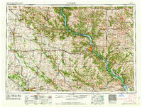
1962 · Dubuque
USGS Topo · 1:250,000
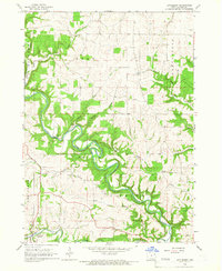
1964 · Littleport
USGS Topo · 1:24,000
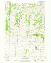
1964 · Edgewood
USGS Topo · 1:24,000
1964 · Garber
USGS Topo · 1:24,000
1964 · Elkader
USGS Topo · 1:24,000
1965 · Thorpe
USGS Topo · 1:24,000