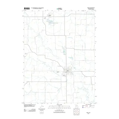
2012 Map of Edina
USGS Topo · Published 2012About this map
Edina serves as the focal point of this Knox County landscape, where the confluence of several rural tributaries and the North Fork South Fabius River shapes the local geography. The map illustrates a region defined by agricultural heritage and small-town infrastructure, featuring the nearby communities of Baring to the north and the small settlement of Milltown just south of the city center. Local history is anchored by numerous burial grounds including Linville Cemetery, Free Cemetery, and Saint Aloysius Cemetery, which offer valuable points of interest for genealogists tracing regional family lineages.
Find a feature on this map
62 named features on this map. Tap any name to fly to it.
Don’t see what you’re looking for? This feature index may not catch every label — zoom into the map to look around manually.
Map Details
Editions of this 2012 Edina Map
This is the sole edition of this map. No revisions or reprints were ever made.
Other maps of this area

1903 · Edina
USGS Topo · 1:125,000

1954 · Centerville
USGS Topo · 1:250,000

1957 · Centerville
USGS Topo · 1:250,000

1958 · Centerville
USGS Topo · 1:250,000
1965 · Edina SE
USGS Topo · 1:24,000
1965 · Knox City
USGS Topo · 1:24,000
1965 · Rutledge
USGS Topo · 1:24,000
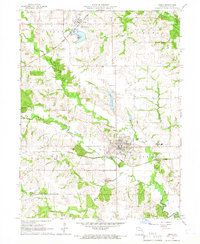
1965 · Edina
USGS Topo · 1:24,000
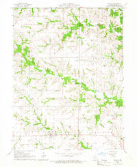
1965 · Novelty
USGS Topo · 1:24,000

1965 · Greensburg
USGS Topo · 1:24,000