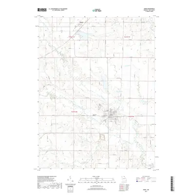
2017 Map of Edina
USGS Topo · Published 2017About this map
Edina, the county seat of Knox County, serves as the primary hub of this north Missouri landscape, where local history is etched into the many cemeteries surrounding the town center. Genealogists can find significant records at the Catholic Cem, Old Edina Cem, and Saint Joseph New Cemetery, while further north near Baring, the Saint Aloysius Cemetery marks the community's early Catholic roots. The terrain is defined by the winding paths of the North Fork South Fabius River and the South Fork South Fabius River, which converge near the interestingly named The Lords Bottom. Water management for the area is visible through the Edina Reservoir and the Baring Country Club Lake, supporting an agricultural region connected by a network of state highways and country roads like State Highway P.
Find a feature on this map
33 named features on this map. Tap any name to fly to it.
Don’t see what you’re looking for? This feature index may not catch every label — zoom into the map to look around manually.
Map Details
Editions of this 2017 Edina Map
This is the sole edition of this map. No revisions or reprints were ever made.
Other maps of this area
1903 · Edina
USGS Topo · 1:125,000

1954 · Centerville
USGS Topo · 1:250,000
1957 · Centerville
USGS Topo · 1:250,000
1958 · Centerville
USGS Topo · 1:250,000
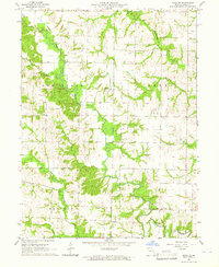
1965 · Edina SE
USGS Topo · 1:24,000
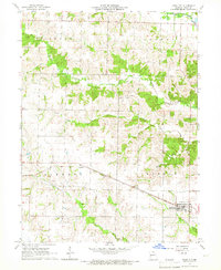
1965 · Knox City
USGS Topo · 1:24,000
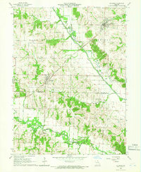
1965 · Rutledge
USGS Topo · 1:24,000
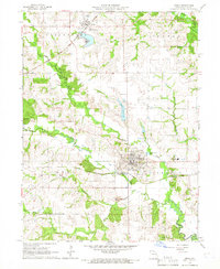
1965 · Edina
USGS Topo · 1:24,000
1965 · Novelty
USGS Topo · 1:24,000
1965 · Greensburg
USGS Topo · 1:24,000