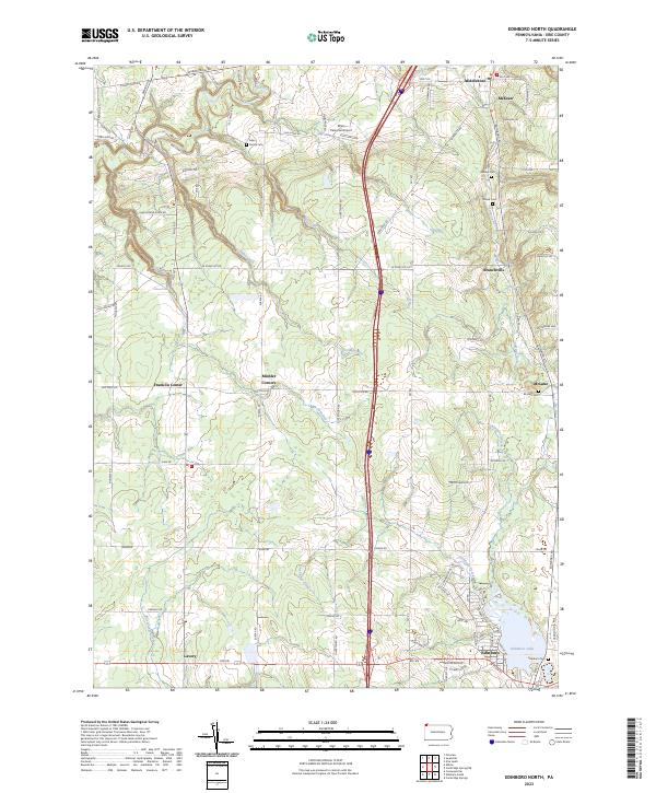
2023 Map of Edinboro North
USGS Topo · Published 2023About this map
Edinboro Lake and its surrounding wetlands anchor the southern edge of this Erie County landscape, where the northern reaches of the borough meet the rural crossroads of McLane and Branchville. The terrain is defined by a series of north-flowing waterways, including Conneauttee Creek and Shenango Creek, which have shaped the local settlement patterns since the nineteenth century. For genealogists, the map preserves the locations of numerous small burial grounds, such as the Allen Family Cem near Elk Creek and the Hauck Cem further east. These sites, along with the Dillen Personal Airport and the geological feature at Howard Falls, reflect the varied land use of the region. The map captures the transition from the lakeside community of Edinboro to the upland farms and junctions like Mishler Corners and Franklin Center.
Find a feature on this map
81 named features on this map. Tap any name to fly to it.
Don’t see what you’re looking for? This feature index may not catch every label — zoom into the map to look around manually.
Map Details
Editions of this 2023 Edinboro North Map
This is the sole edition of this map. No revisions or reprints were ever made.
Other maps of this area

1899 · Erie
USGS Topo · 1:62,500

1900 · Girard
USGS Topo · 1:62,500

1900 · Erie
USGS Topo · 1:62,500

1900 · Fairview
USGS Topo · 1:62,500

1923 · Cambridge Springs
USGS Topo · 1:62,500

1925 · Cambridge Springs
USGS Topo · 1:62,500

1943 · Cambridge Springs
USGS Topo · 1:62,500

1950 · Cleveland
USGS Topo · 1:250,000

1950 · Erie
USGS Topo · 1:250,000

1956 · Cleveland
USGS Topo · 1:250,000